UW Automatic Weather Stations - 2005
| Regions:Years: |
Ross Ice Shelf Stations (2005): |
|||||||||||||||||||||
Lettau AWSOwner:Site Code: LET Initial Start Date: 1986-01-29 Info from Service Visit: 1994-01-17 Latitude: -82.518 S Longitude: -174.452 W Elevation: 55 meters WMO ID: 89377 AWS Model: AWS2B ARGOS ID: 8908 2005 Archive (FTP): 3-hourly | 10-minute Station Records:
Notes: Station was named for Dr. Heinz Lettau, polar scientist. ------------------------------------------- 4 February 2012 ------------------------------------------- Field team: John Cassano, Alice DuVivier Twin Otter crew: Mark and Derek Morale: Carey and Kathyrn Work performed: Check power to AWS - battery ~6.4 V from each battery box - solar panel ~14 V - ~14 V at CR1000 power plug We attempted to verify CR1000 operation but when we connected the CR1000 key pad we got no signal (it didn't power up). We disconnected the power to the CR1000 and reconnected it but were still unable to get a connection with the key pad. Based on this we assumed that there was a fault with the CR1000 and removed the AWS enclosure to be returned to Madison. All instruments appeared to be in good condition and the station did not need to be raised. It appears that there is a problem with the batteries (and possibly junction box?) and these should be replaced during the next site visit. Instrument heights (all heights to bottom of instrument): Lower T: 37" Jct. box: 76" AWS enclosure: 88" HMP: 108" ADG / Pyranometer: 134" Solar panel: 174" Upper T: 193" Location: Handheld GPS coordinates for the site were 82 deg 28.347 min S and 174 deg 35.746 min W. This location is approximately .25 mi north northwest of the previous location (82 deg 28.5 min S, 174 deg 35.22 min W). ------------------------------------------- Full station replacement on 1-14-11 (approximate ground time 3 hours) ------------------------------------------- Team: Melissa and Jonathan Pilots: Randy and Travis The weather started out good, but the clouds moved in on us quickly. About a 1.75 hour flight from CTAM. UNAVCO GPS was set out. Approximate times were 10:45-1:45 (rough estimate). We removed all of the instruments from the station (a before picture is shown below). The original heights were as follows: Lower temp: 21 cm J-box: 63 cm Enclosure: 102 cm Solar Panel: 162 cm Upper temp: 199 cm Boom (old style for aerovane): 218 cm The station had the old style tower sections. Therefore, we bolted a 5' base and two 7' tower sections to the old tower. The new tower was installed about 2' in the snow supported by a plywood base and new guidelines. The 5' tower section was secured to the old tower using 2 sets of metal plates (this can be seen in the second "after" picture). Two additional batteries were added to the site. A full set of new style AWS instruments were installed at the site. The enclosure number is 14414 and the Argos ID is 8928. The computer was plugged in and we received good data. Note, the new style vertical aerovane boom was misplaced. Therefore, the white boom (that was removed from Sabrina) was used to install the aerovane. The next time the site is visited a new style vertical aerovane boom should be installed. Final instrument heights: Lower temp: 135 cm J-box: 220 cm Enclosure: 252 cm HMP: 310 cm Boom (ADG and pyronometer): 380 cm Upper temp: 530 cm Aerovane: 555 cm | 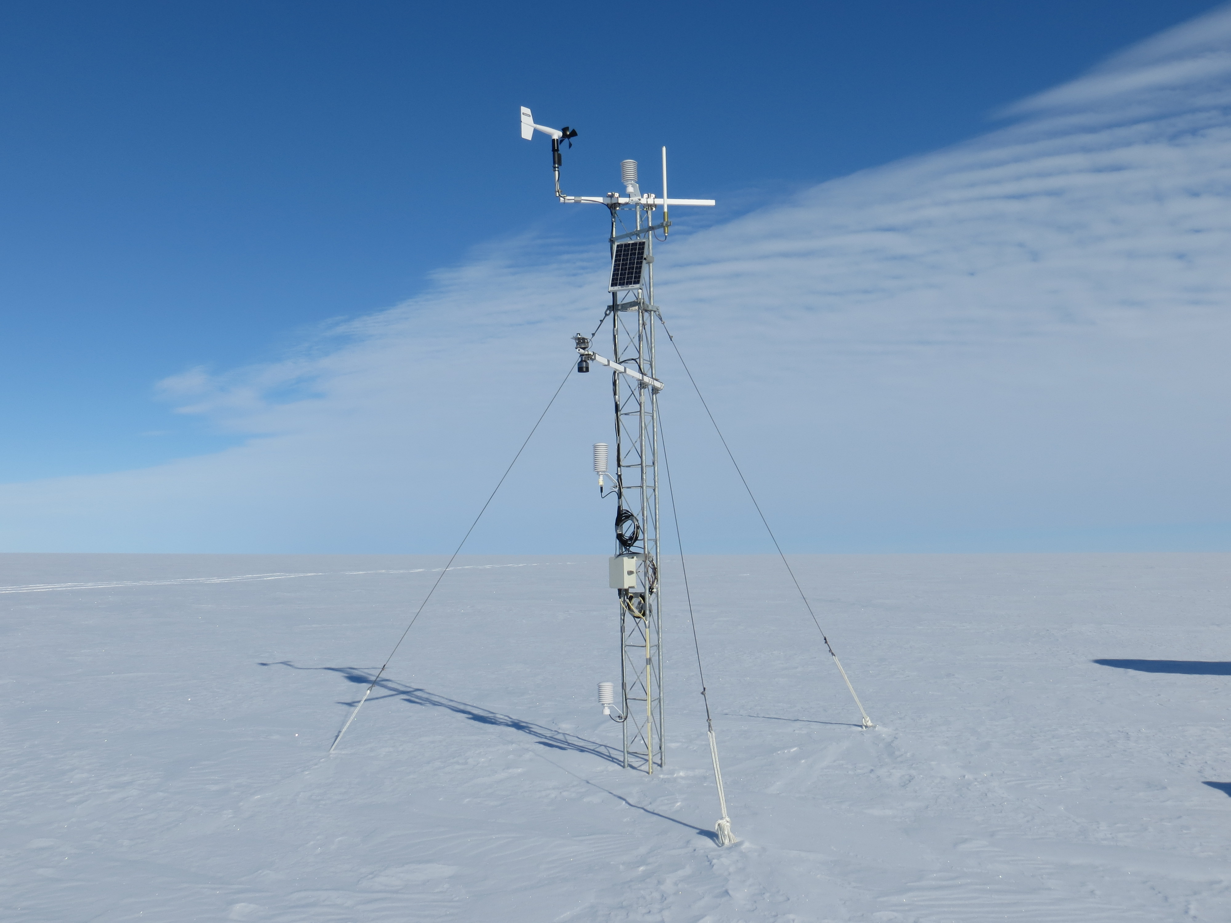 20 Photos 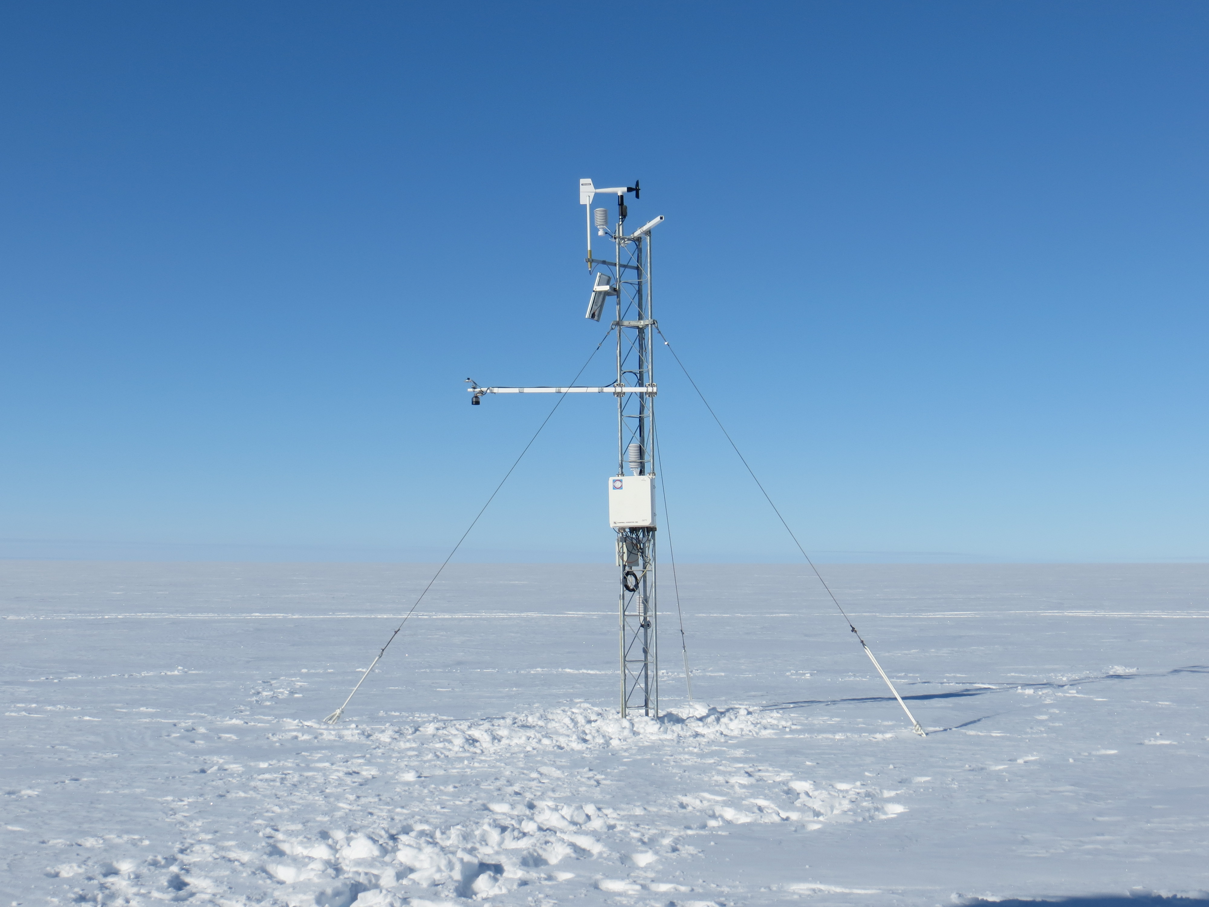 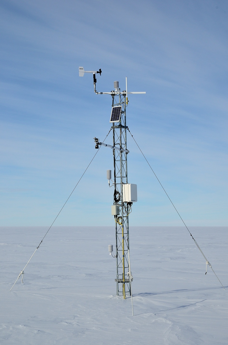   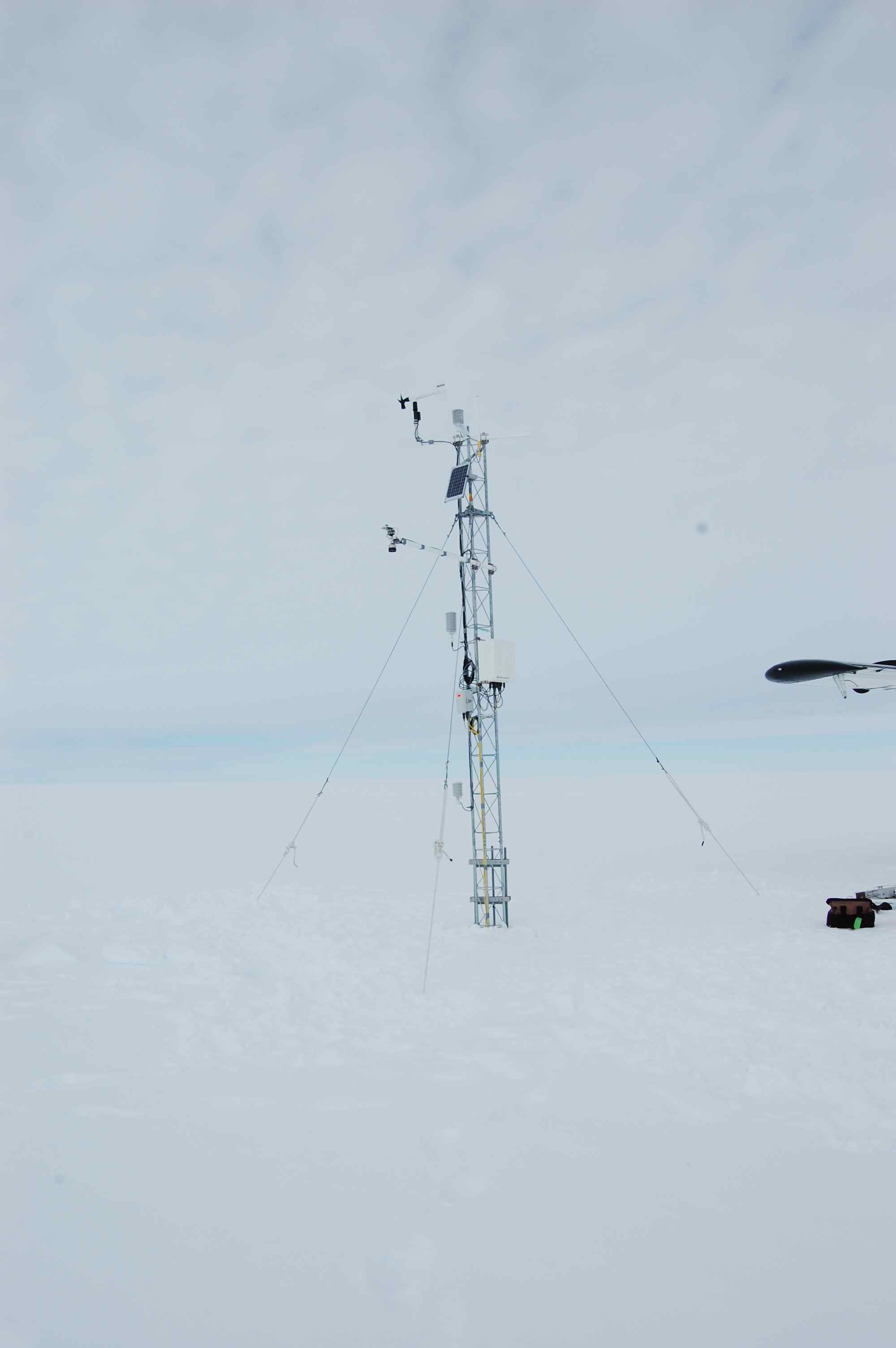 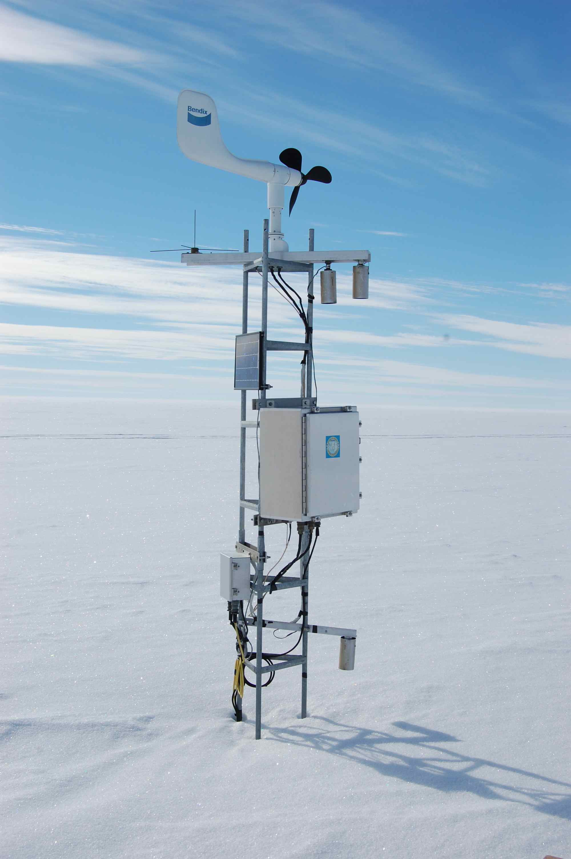 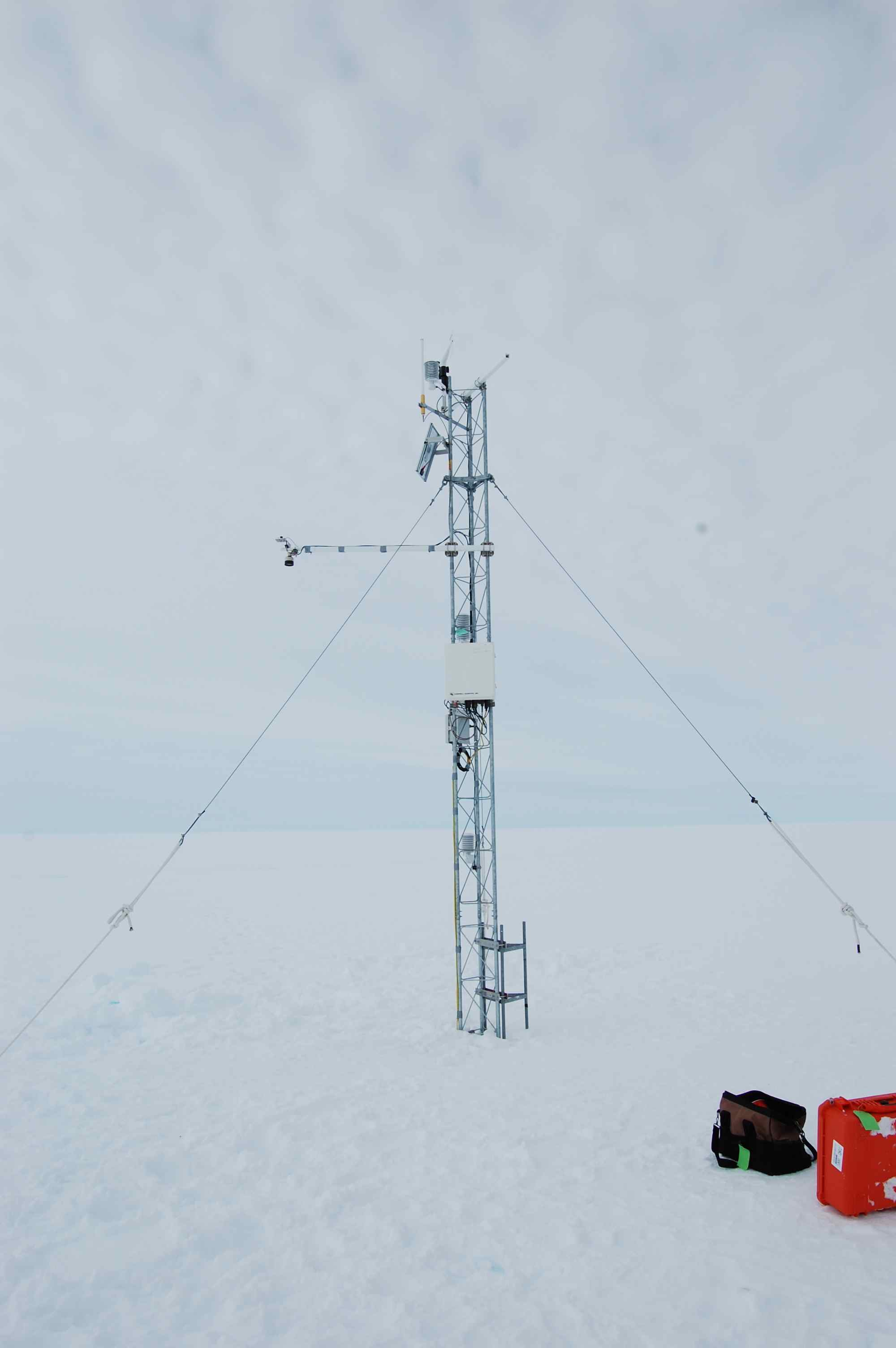 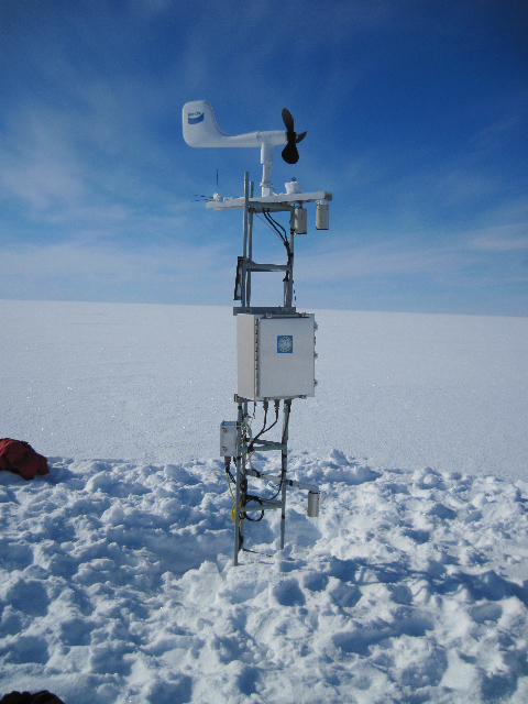 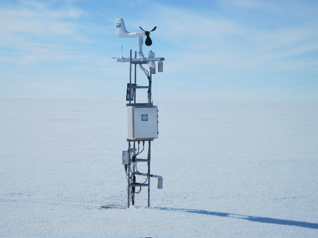 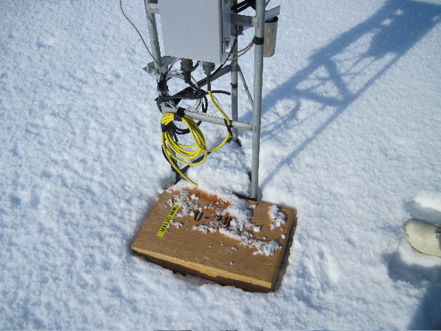 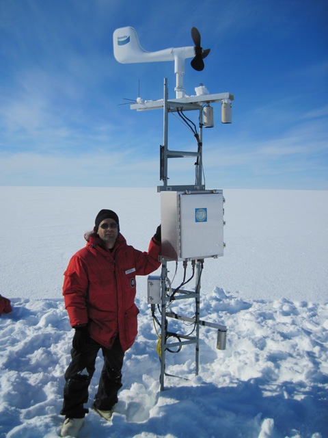  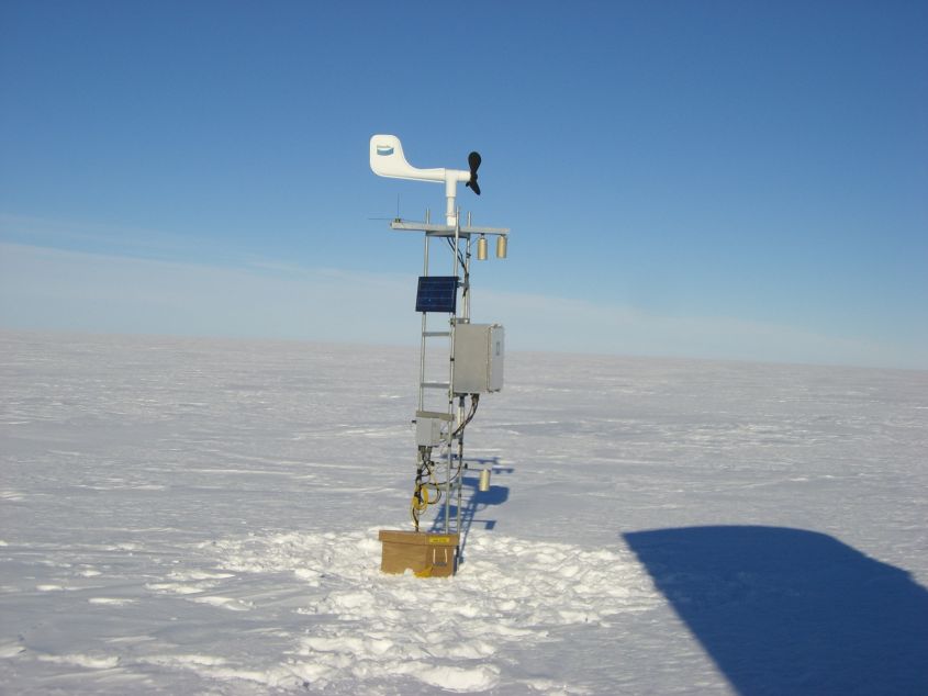 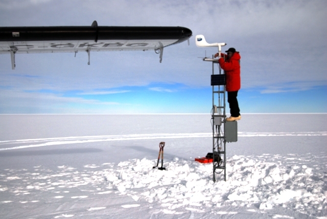     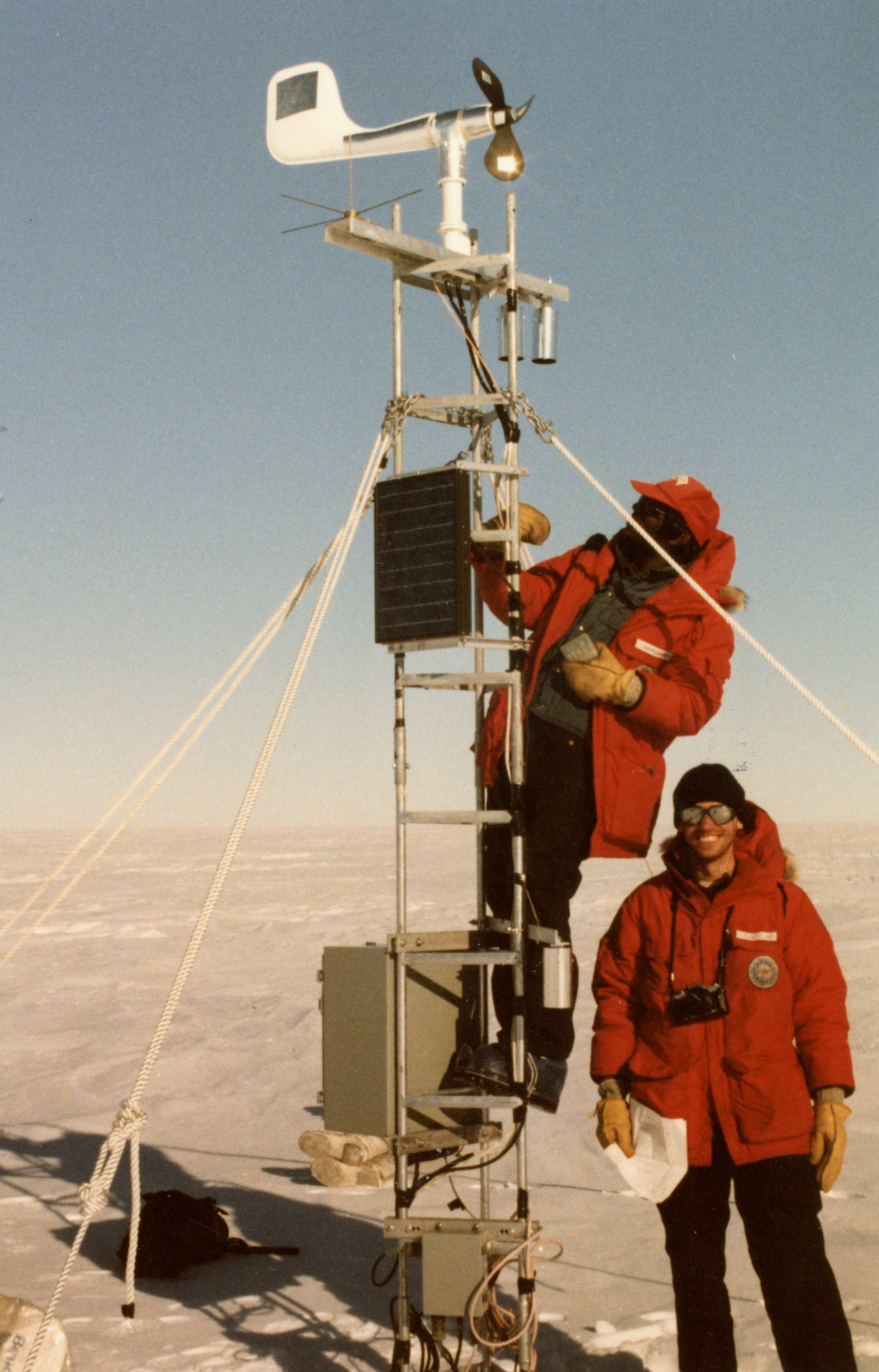 | |||||||||||||||||||||